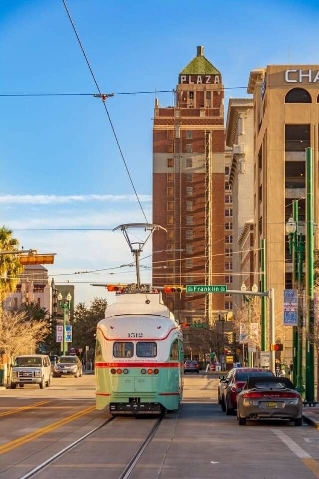
WEST SIDE HOMES FOR SALE — EL PASO, TX
WEST SIDE
Up against the Franklin Mountains, closest to UTEP and downtown, and the most vertical terrain in the city. Housing runs from mid-century ranch through 1980s custom to newer building at the upper elevations.
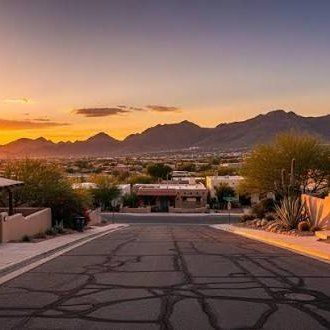
The West Side runs along the west face of the Franklin Mountains, from Kern Place and the streets around UTEP up through Coronado and out to the newer building at the higher elevations and in the Upper Valley along the river. The housing spans the whole post-war history of the city: mid-century brick ranches near Mesa Street, 1970s and 1980s custom homes on the slopes, and new subdivisions further northwest.
Terrain is the inspection theme here. Hillside lots often depend on retaining walls, grading and drainage that deserve their own look, and arroyos crossing the area mean flood-zone status should be checked on the FEMA map rather than assumed. In the Upper Valley, larger lots can come with irrigation rights and assessments through the El Paso County Water Improvement District, which are worth confirming before you make an offer.
Mesa Street and I-10 carry most of the traffic, with the Brio rapid bus line on Mesa. Transmountain Road (Loop 375) crosses the Franklins to the Northeast, and Franklin Mountains State Park and Scenic Drive are minutes from most of the area.
TOP 5 THINGS TO DO IN WEST SIDE
- Hike Franklin Mountains State Park — over 100 miles of trail
- Scenic Drive overlook at dusk
- UTEP campus and the Sun Bowl
- Tom Lea Upper Park
- Kern Place for food and coffee
Thinking about WEST SIDE?
Let's talk about it properly.
Ready when you are.
ASK ABOUT WEST SIDEContact