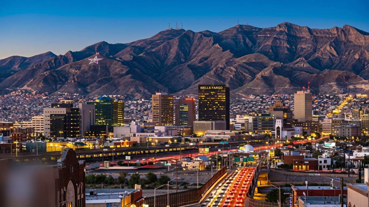
EL PASO, TX NEIGHBORHOODS
KNOW THE GROUND
El Paso is a wide city with real differences between one side and the other — altitude, commute, age of housing stock. Here is how the ground actually lies.
Neighborhoods
SEE WHERE THEY SIT
Click a pin to explore
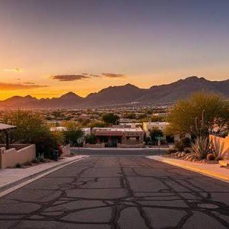
West Side
Up against the Franklin Mountains, closest to UTEP and downtown, and the most vertical terrain in the city. Housing runs from mid-century ranch through 1980s custom to newer building at the upper elevations.
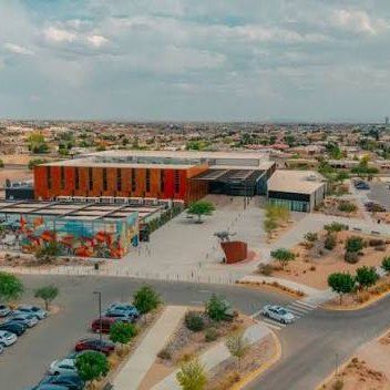
East Side
El Paso's main growth direction for decades, and still expanding outward. Subdivisions get newer and lots get larger the further east you go, with most of the newer retail and the shortest run to Fort Bliss for much of it.
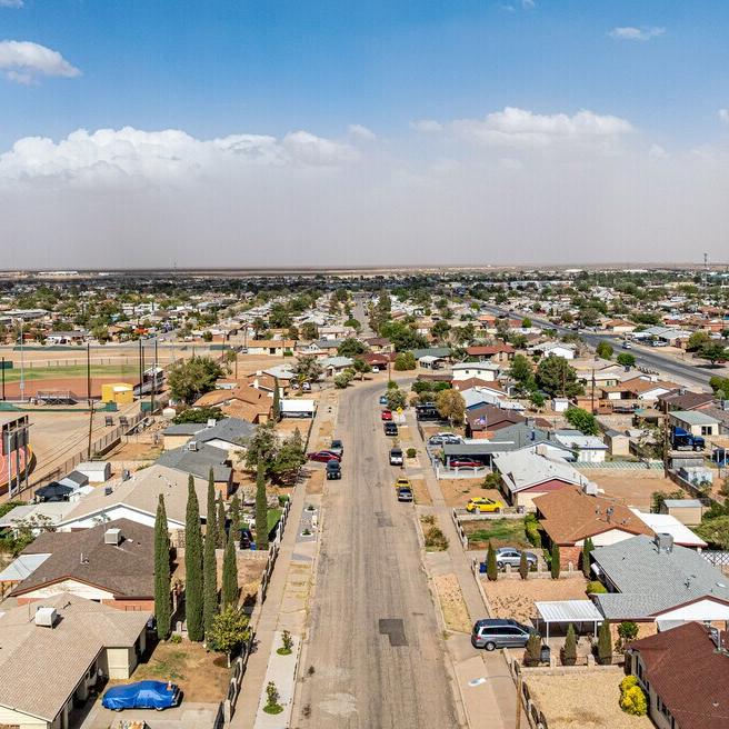
Northeast
Between the mountain and the post, with the most direct access to Fort Bliss. Established blocks from the 1960s–80s sit closer in, with newer construction pushing further out.
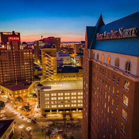
Central & Downtown
The oldest housing in the city — Sunset Heights, Manhattan Heights and the surrounding historic districts, with genuine early-1900s architecture. Downtown has been steadily reinvesting and the walkable core is strongest here.
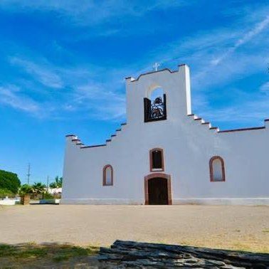
Mission Valley & Socorro
The Rio Grande side, with agricultural roots still visible in the lot shapes. Parcels are larger and more irregular, manufactured housing is common, and Socorro keeps its own municipal boundaries within El Paso County.
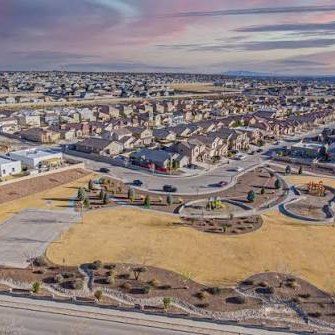
Horizon City
East of El Paso proper and its own municipality — newer subdivisions, more house per dollar, and a commuter relationship with the city. Building has been steady here for years.
The right neighborhood is the one
you'd still pick on a Tuesday.
Ready when you are.
ASK ABOUT AN AREAContact