
CHARLOTTE, NC NEIGHBORHOODS
CHOOSE YOUR NEIGHBORHOOD
Charlotte isn't one market — it's a dozen small ones, each with its own pace, price, and personality. Start with the one that fits your life.
Neighborhoods
SEE WHERE THEY SIT
Click a pin to explore

Uptown
Charlotte's centre, and the only part of the city built vertically. Stock is almost entirely mid- and high-rise condominiums, from 1990s conversions to towers finished in the last few years. You are walking to the arena, the stadium, the museums and most of the banking employment.
South End
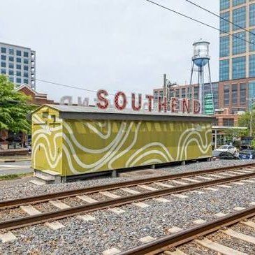
The old industrial corridor, redeveloped hard over the last fifteen years. The Rail Trail runs its length beside the Blue Line, and most of what you buy is new-build. Breweries and restaurants fill the converted warehouses.
NoDa
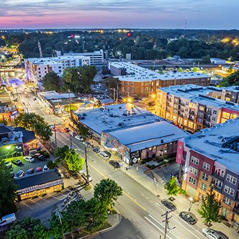
North Davidson, the former mill village turned arts district. Original mill houses and 1920s bungalows sit alongside infill townhomes, so two doors can be eighty years apart. Music halls, galleries and murals define the strip.
Plaza Midwood
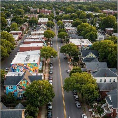
Front-porch bungalows on tree-lined streets, with one of the better independent retail and patio strips in the city running through the middle of it. Renovation quality varies enormously street to street.
 Photo: Hitkiller666 / Wikimedia Commons, CC BY-SA 4.0
Dilworth
Charlotte's first streetcar suburb, and it still reads that way — tree-tunnel streets, deep porches, and Freedom Park at the edge. A historic district overlay covers much of it.
Ballantyne
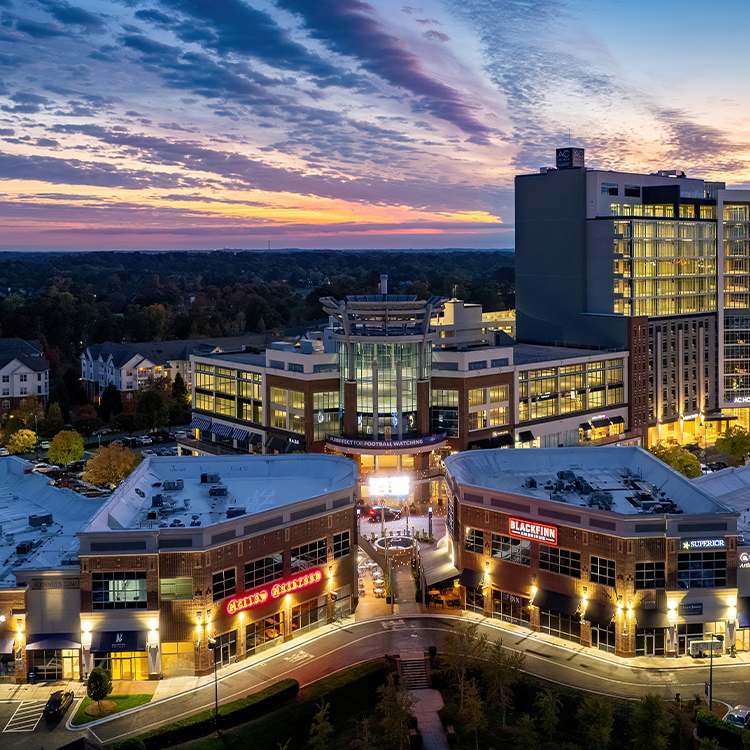
South Charlotte, built largely from the 1990s onward around a corporate campus and golf. Housing is newer and more uniform than the core, with larger lots and planned-community layouts carrying their own amenities.
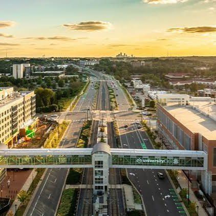
University City
Built around UNC Charlotte and the research park, and now on the Blue Line to Uptown. You get materially more square footage per dollar than inside the loop, plus a deep apartment and townhome inventory.
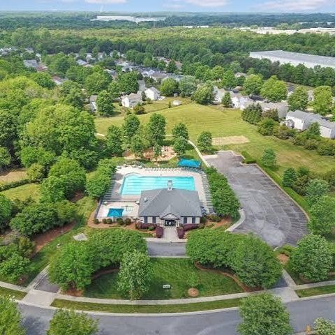
Steele Creek
The southwest growth corridor — new construction subdivisions, Lake Wylie access on the far side, and quick reach to the airport. Still actively building out.
 Photo: Caspermichael24 / Wikimedia Commons, CC BY-SA 4.0
Gastonia
About 25 miles west of Charlotte on I-85, in Gaston County, its own tax jurisdiction and generally a lower price per square foot than Mecklenburg. Mill houses from the textile era, mid-century ranches, and new subdivisions filling in as the commute west builds out.
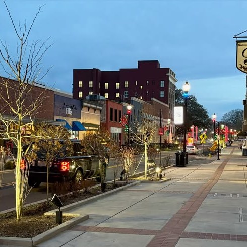
Kannapolis
North of Concord on I-85, the old Cannon Mills town. Downtown has been rebuilt around the ballpark, and housing runs from mill-village houses near the core to newer subdivisions on the edges.
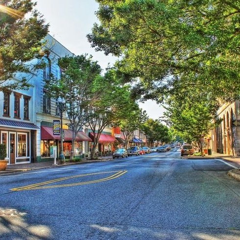
Concord
About 27 miles northeast of Charlotte on I-85, its own city in its own county. Housing runs from the Victorian and early-1900s stock around historic Union Street to large newer subdivisions.
Huntersville
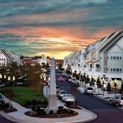
North Mecklenburg between Lake Norman and Mountain Island Lake, grown largely since the 1990s. Mostly single-family planned subdivisions, with Birkdale Village as the town-centre shopping street.
 Photo: HangingCurve / Wikimedia Commons, CC BY-SA 4.0
Southpark
South Charlotte around SouthPark Mall, the city's second business district. Mid-century ranches and custom homes on larger wooded lots, with condos and apartments close to the mall.
The right neighborhood decides
whether you love it here.
Ready when you are.
FIND YOUR FITContact